Hexham, England: The Ultimate Travel Guide 2026
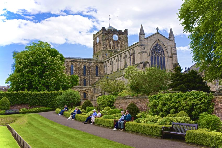
Hexham is a market town and civil parish in the south west of Northumberland, England, on the south bank of the River Tyne which forms by the confluence of two rivers: the North Tyne and the South Tyne. A visit to Hexham is like stepping back in time, with its cobbled streets, medieval architecture, and the magnificent Hexham Abbey, which dates back to the 7th century. This historic abbey is a must-see, with its stunning stained glass windows, ancient crypt, and tranquil gardens. As you wander through the town, you'll discover a delightful mix of independent shops, traditional pubs, and quaint cafes, offering a perfect blend of old-world charm and modern amenities.
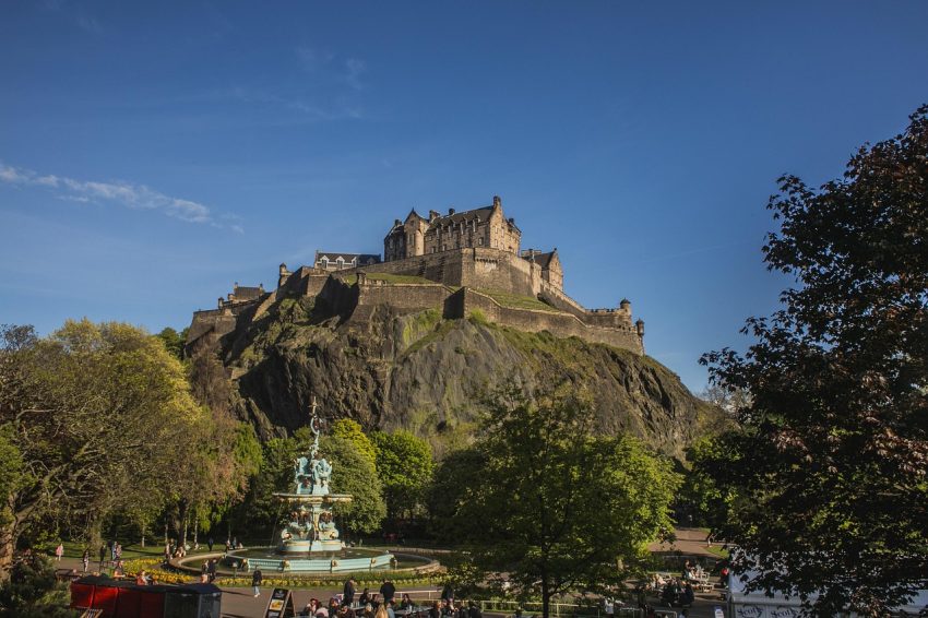
Beyond its historical allure, Hexham is also a gateway to some of the most picturesque landscapes in Northumberland. The nearby Hadrian's Wall, a UNESCO World Heritage site, offers a glimpse into Roman Britain and provides excellent hiking opportunities with breathtaking views. Tyne Green Country Park is another outdoor gem, perfect for leisurely walks, picnics, and enjoying the serene riverside setting. Whether you're a history enthusiast, nature lover, or simply looking for a peaceful escape, Hexham offers a rich and varied experience that will leave you enchanted.
History of Hexham
Hexham: Early Beginnings
Hexham’s history dates back to the 7th century when it was founded by Wilfrid, a Northumbrian bishop. The town quickly became an important religious center.
Hexham: Medieval Times
In the medieval period, Hexham was granted market town status, which led to its growth and prosperity. Hexham Abbey, a centerpiece of the town, was rebuilt in the 12th century.
Hexham: Industrial Era
The Industrial Revolution brought changes to Hexham, with developments in wool and leather industries. The town’s market remained a central hub for trade and commerce.
Hexham: Modern Day
Today, Hexham is a thriving town with a rich heritage, blending its historical roots with modern amenities and attractions, making it a popular destination for tourists.

Moira & Andy
Hey! We're Moira & Andy. From hiking the Camino to trips around Europe in Bert our campervan — we've been traveling together since retirement in 2020!
Visiting Hexham for the first time and wondering what are the top places to see in the city? In this complete guide, I share the best things to do in Hexham on the first visit. To help you plan your trip, I have also included an interactive map and practical tips for visiting!
This website uses affiliate links which earn a small commission at no additional cost to you.

Best things to do and See in Hexham
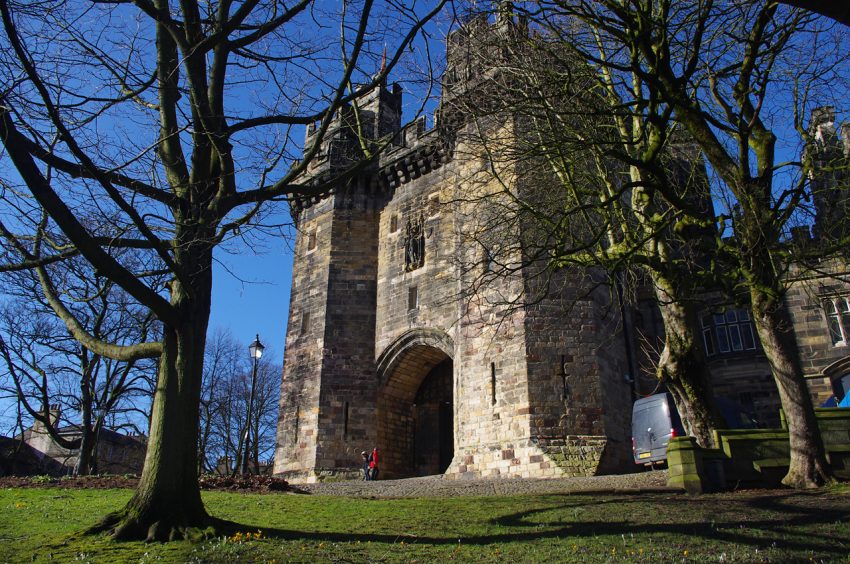
1. Hexham Abbey
Visit Hexham Abbey, a stunning medieval church with beautiful architecture, historic artifacts, and peaceful gardens.
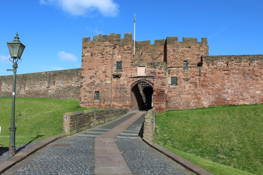
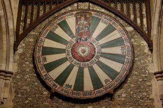
2. Hexham Old Gaol
Explore Hexham Old Gaol, England’s oldest purpose-built prison, now a museum showcasing the history of crime and punishment in Northumberland.
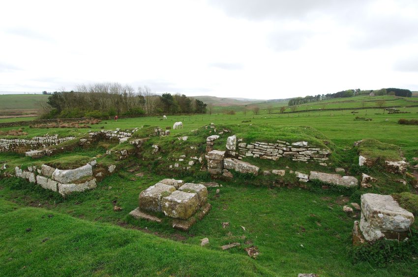
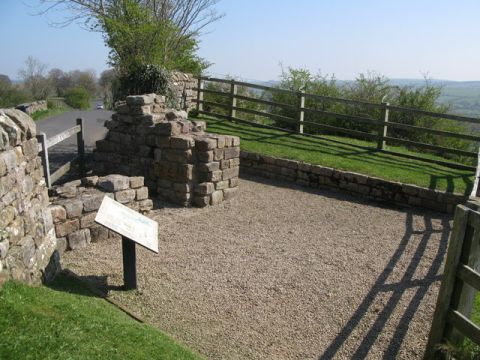
3. Hadrian’s Wall
Take a trip to Hadrian’s Wall, a UNESCO World Heritage site, and explore the ancient Roman fortifications and scenic trails.
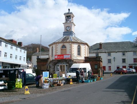
4. Hexham Market
Experience the vibrant Hexham Market, held in the town square, offering a variety of local produce, crafts, and antiques.
5. Tyne Green Country Park
Relax at Tyne Green Country Park, a beautiful riverside park perfect for picnics, walking, and enjoying outdoor activities.
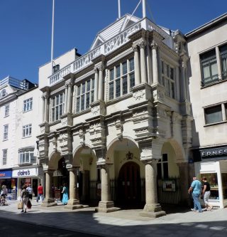
6. Queen’s Hall Arts Centre
Visit the Queen’s Hall Arts Centre, hosting a range of cultural events, including theatre performances, art exhibitions, and live music.
7. Sele Park
Stroll through Sele Park, a tranquil green space with lovely gardens, play areas, and views of Hexham Abbey.
8. Hexham Racecourse
Enjoy a day at Hexham Racecourse, offering exciting horse racing events with stunning views of the surrounding countryside.
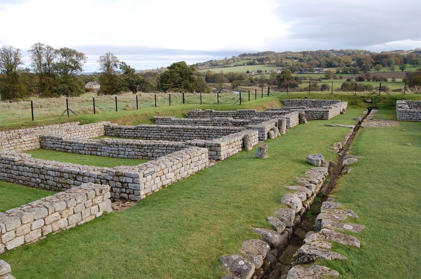
9. Chesters Roman Fort
Discover Chesters Roman Fort, part of Hadrian’s Wall, and explore the well-preserved ruins and museum showcasing Roman artifacts.
10. Forum Cinema
Catch a film at the Forum Cinema, a charming local cinema offering a mix of mainstream and independent films in a historic setting.