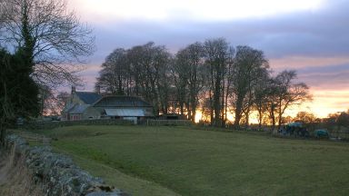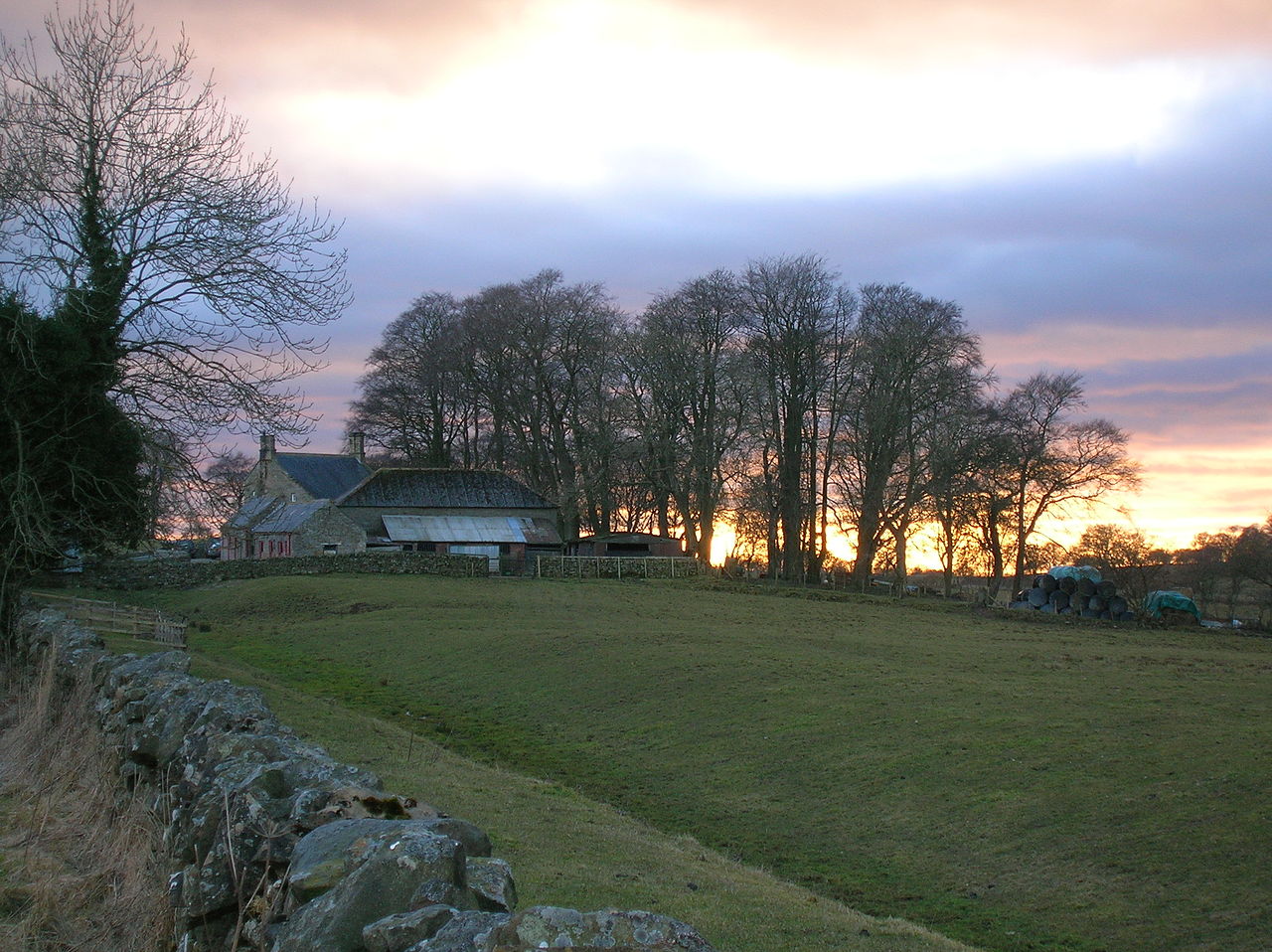
Hadrians Wall - Day 3 - Hare Hill to Cawfields
This website uses affiliate links which earn a small commission at no additional cost to you.
Before leaving Banks you should visit Banks Turret – the best preserved turret (observation tower) along the wall and a chance to enjoy the Southerly views over the valley of the River Irthing.
Today’s walk is you will immerse yourself into the natural environment and Roman history. A few miles from Banks is Birdoswald Fort, and the longest continuous stretch of wall. This section offers you the chance to take the time to appreciate the feat of engineering that tested the abilities and commitment of Roman Legionnaires over its six years of construction.
After Birdoswald you pass through the peaceful village of Gilsland before approaching the edge of the neighbouring village of Greenhead – the gateway to Northumberland National Park. The Park is a treasure trove of historical and natural delights starting with Thirlwall Castle and Walltown Quarry. Walltown is a great place to spend a little time and also visit the nearby Roman Army Museum.
Towards the end of the day you will ascend the Great Whin Sill at Cawfields Quarry – the volcanic plateau which large sections of the Wall are built on and you will be climbing along tomorrow!
Banks Burn to Birdoswald
From the Banks Burn milecastle, the path takes you to the left up the road, and then turns to the right. The road takes you to the north of the field that the wall runs through. The road and the line of the wall turns slightly and is the likely position of Turret 52B, although it has never been found. Leaving the village of Banks behind, you walk in a field to the south of the wall.
You will come to Banks East Turret which is the best preserved turret or observation tower in the western sector of Hadrian’s Wall. A litttle further on you come to Pike Hill Signal Tower an ancient signal tower which pre-dates Hadrian’s Wall.
The next building you come to is Bankshead farm is the site of Milecastle 52.
Milecastle 52 was excavated in 1934. although there is no trace of the milecastle is visible. Two altars to the local deity Cocidius were discovered here in 1808. One of the altars was dedicated by soldiers of the Twentieth Legion in the years 262-6. In 1862 a broken slab was found with the name of Hadrian.
The next turret is Leahill Turret – 51b which lies just to the north of the road. It is another Turf Wall turret incorporated into the stone wall. Inside, there was a stone platform against the north wall and a hearth in the centre of the ground-floor room.
The path rejoins the road for a while and we reach Piper Sike Turret- 51a which is similar in design to the previous one. It also has a stone platform against its northern wall, a central hearth, and an entrance at the eastern end of its south side.
A Sike is a small stream or rill, typically one that flows through marshy ground and is often dry in summer.
About 200m further east the Trail takes us off the road to the south along a narrow lane and briefly through Combcrag wood. The wood is named after Coombe (or Comb) Crag, one of the Roman quarries for the Wall.
Once through the woods we come across a good example of the Vallum. To the north of the field is the site of Milecastle 51 (Wall Bowers). The remains are in poor condition, consisting of turf covered foundations with traces of a ditch to the east. Immediately after Milecastle 51, the Turf and Stone Walls separate, with the Stone Wall ditch continuing to the north of the road, and the Turf Wall ditch crosses the field.
The western stretch of the frontier, from the river Irthing to Bowness-on-Solway, was originally constructed from turf rather than stone. Even the milecastles were built of turf and timber, although the turrets were constructed of stone. This turf structure was later replaced in stone. However between and Birdoswald the turf structure was left and a new stone wall was made further to the north.
Either walk along the road and the route of the stonewall or the trail which takes over route of the turf wall.
The Trail takes us across the field, on the northern lip of the Turf Wall ditch. You pass by the locations of Turf Wall Turrets 50 B and then 50A before reaching Turf Wall Milecastle 50 (High House). Milecastle 50 is about 200 metres to the south of the stone wall mile castle that replaced it. excavated in 1934 it had turf defensive walls, a timber north tower, and a fragment of a timber inscription was recovered recording its construction under Aulus Platorius Nepos.
The Milecastle 50 on the stonewall which lies to the south of the road was excavated in 1911 and produced three building inscriptions, two of them by legio VI Victrix and one by legio II Augusta.
The trail turns sharply to re-join the road and the location of the stonewall. We soon encounter our first substantial length of curtain wall.
As was mentioned this was not built on the line of the Turf Wall and was constructed shortly before Hadrian’s Wall was abandoned in favour of the Antonine Wall in the AD 140s. Consequently this section of the wall was built to the narrow, rather than intermediate, gauge.
In the middle of the section of wall we find Turret 49b. It was excavated in 1911 and its masonry has been consolidated and exposed. 12m west of the turret, on the top course of the south face of the curtain wall, the first of three phallic symbols in this wall mile can be seen.
The Romans considered phalluses to be symbols of good luck.
Location: Birdoswald Roman Fort - Hadrian's Wall, Hadrian's Wall Path, Brampton, UK | Hours: Saturday - Sunday 10am - 4pm. Between 26 December and 3 January, open daily 10am - 4pm. | Price: Adult: £9.00 Child (5-17 years): £5.40 | Website
Read more about Birdoswald Roman Fort
Birdoswald fort to Thirlwall Castle
The Turf Wall crossed the site of Birdoswald Fort and was the site of Turret 49a (TW), which was built on a high spur between the River Irthing and Midgeholme Moss. Birdoswald Fort was one of the 16 forts built along the wall, and when it was built the Turf Wall rampart and Turret 49a TW was flattened, and the ditch was filled in. That original fort was slightly smaller than the stone one we see today. The Trail guides us up the western side, among some trees, and along the northern defences of the fort, on the road to the English Heritage entrance. A tearoom and toilet facilities can be found here.
East of Birdoswald, the curtain wall continues as far as the edge of the Irthing gorge. Another phallic symbol can be found 10m east of the western end of the field wall parallel to the curtain wall, just before a culvert through the wall.
Just before the reaching Harrow’s Scar Milecastle (49), the Turf and Stone Walls converge once more. Although a lot of the interior of Milecastle has been removed by the modern path which passes through it, but this is the first consolidated milecastle encountered when walking from west to east. The main structure inside the milecastle are the remains of a medieval farmstead. The scar or cliff and hence the milecastle are named after an ancient tenement called The Harrows which stood nearby. Milecastle 49 was the easternmost extremity of the Turf Wall.
The Trail descends down the hillside to the Irthing, which you cross via the Millennium Bridge. The curtain wall (and the Military Way) crossed the river by means of a bridge. the remains of which can be seen where the wall meets the River Irthing. It is worth noting that the River Irthing has moved its course to the west since the Romans built their bridge. A good example of the bridge abutments can be found on the south side of the river at the Willowford Bridge abutment.
An abutments is a mass of masonry, supporting the arch at each end of a bridge and helps the structure to resist the pressure of water on a bridge. There would have been towers either side of the bridge. A flood swept away the abutment and the easternmost river pier, and the eastern tower rebuilt further to the east. The bridge was changed at least twice, being widened to take a road in the late 2nd or early 3rd century AD.
Walk up the hill and immediately east of Willowford Farm are the visible remains of Turret 48B (Willowford West). Standing up to nine courses high, the turret has lost its south wall, but still gives a good impression of the limited space available within its ground floor.
As you approach the River Irthing again you come to Turret 48A (Willowford East). The site was cleared and partially rebuilt in 1951/2, and the remains are visible as consolidated masonry.
When you reach the road on the outskirts of Gilsland you need to cross over the join the path to the right of the school. If you need a rest turn left and head into the village.
Gilsland village is unique in that it straddles the county border, half the village is in Northumberland and the other half is in Cumbria. Stop for a rest in the House of Meg tearooms. The tea house has historic connections with a notorious seventeenth-century landlady called Meg Teasdale and her story was written in a novel by Sir Walter Scott.
You head behind the school and carefully cross the railway line to reach Milecastle 48.
Milecastle 48 had been known locally as “The King’s Stables” for over 100 years, but is now known as Poltross Burn Milecastle. It is one of the best preserved along the line of the Wall. In the north-east corner look for the oven used for cooking and the bottonm three steps of a flight of stairs giving access to the ramparts of Hadrian’s Wall. The Stanegate Roman road, which preceded Hadrian’s Wall, crossed the Poltross Burn a few hundred yards to the south of Milecastle 48; part of its route can be seen descending a field to the river’s edge.
We cross the Poltross Burn next to the viaduct for the trainline and follow it for a while. After a sharp turn to the right, then left you are walking in the ditch with the location of the wall to your right. Cross another road and walk through a field. The house you approach lies over the site of Turret 47B (Gap [Farm]), which was excavated in 1912. After the field the path takes you through the front gardens of a couple of houses before crossing slightly to the right of another road and into a field. We walk along stretch with the line of the curtain wall to our right marked by a field boundary, the ditch to our left.
Although Turret 47A (Foultown) was found in 1912 there are no visible remains to see. Milecastle 47 is located 270 metres east of chapel House farm although also no visible remains other than a slight earthwork platform to be seen and the causeway across the ditch. Apparently in 19th century explosives were used to dislodge stones to use as building materials. An inscription was found nearby that indicates that it was probably built by the legio XX Valeria Victrix.
Carry on across the fields along the ditch with the wall to your right. Turret 46B (Wallend) is probably located under one of the outbuildings of Wallend Farm, although it has never been located. You come to the road and turn right, passing by the wall, which was consolidated while road works were carried out in 1957. You turn left and cross over the railway, joining the Penine Way, and walk along the Tipalt Burn northwards to get back to the Wall near Thirlwall Castle.
Location: Thirlwall Castle, Pennine Way, Brampton CA8 7HL, UK | Price: Free
Read more about Thirlwall Castle
Thirlwall Castle to Haltwistle Burn
By the castle underneath the house or garden of Holmhead is the probably location of Turret 46B (Wallend), although it has never been found. There is now an uphill slog, as you walk over the next field. The next stone wall is the site of Milecastle 46 (Carvoran), although there are no visible remains its site can be distinguished by a slight, turf-covered platform just west of the Vallum. At this point we are also to the site of the Carvoran Roman Fort (Magnis) and the Roman Army Museum, which is well worth a visit.
Magnis is one of 16 Roman forts along Hadrian’s Wall. The fort of Magnis was predated Hadrian’s Wall and was built to guard the junction of the Maiden Way with the Stanegate. The Stanegate was the key supply route linking Coria (Corbridge) in the east to Luguvalium (Carlisle) in the west. Not only was the fort not attached to the wall it was also built to the south of the Vallum. The Vallum is seen to deviate off to the north away from the fort due to the presence of a bog. Not much else is known of the interior, except that the bathhouse was inside the fort. In Hadrian’s time the garrison was the First Cohort of Hamian archers from Syria. This is the only known detachment of archers in Roman Britain. The Notitia shows the Garrison as the Second Cohort of dalmatians.
The trail continues through Walltown Quarry where there is a rest area with toilets. The path continues and as you near the lake you are close to the site of Turret 45b – Walltown West, which – was on perched on the edge of a crag which unfortunately collapsed into the quarry in the 19th century. The path turns to the southwest before swinging back around to the north to climb up to the top of Walltown Crags.
You have now ascended the Whin Sill, the outcrop of dolerite that dominates the central sector of the Wall and the wall rides along the top of.The Whin Sill that usually slopes downwards to the south – known, as the ‘dip slope, with bands of sandstone and limestone, both of which were used to build the wall.
You walk with the wall to your left, between you and the cliff. Winding around some outcrops, the path then drops down into our first ‘nick’ of the ‘Nine Nicks of Thirlwell’ . The “Nine Nicks of Thirlwall” refer to the (originally) nine gaps in the sill are in reality glacial spillways, caused by melt-water when the ice was retreating at the end of the most recent Ice Age. Modern quarrying has removed several of the rock faces.
Cresting the rise, the well-preserved remains of Turret 45A stand at the head of Walltown Crags. This structure actually predates the Wall, and since it was built as an observation tower, the views are unsurprisingly excellent. To the north, you can see a distant tower which marks the location of the RAF’s range at Spadeadam, where the Blue Streak rocket was test-fired during the late 1950s. Heading north-east along the crest of the ridge, the crags on the left are home to chives that might have originally been cultivated by the Romans. Close to a northward kink in the ridge are the faint remains of Milecastle 45.
At this point the Pennine Way used to leave the ridge for about 1½ miles (2½ kilometres), following the Roman Military Way along the reverse slope. However, the path beside the Wall has now been established as a public right of way. Continuing along the ridge, the Wall appears as an overgrown dyke among rock outcrops. Arriving at a nick, swing to the right to avoid a steep descent. Crossing a drystone wall by a ladder stile, head steeply uphill, passing Turret 44B. Further along the ridge, the faint remains of Turret 44A are passed. Ahead is another gap – the last of the Nine Nicks, where a turn to the right avoids a drop. Rejoining the ridge, the path begins a gentle descent as it swings around to head east. Passing the site of Milecastle 44, to the north of the Wall is the defensive ditch. Crossing a drystone wall by a ladder stile, the path runs through a stand of fir trees. Here the Wall is well-preserved, despite being overgrown with brambles. Passing Cockmount Hill farm, continue over fields towards Aesica fort, where the extensive remains are worthy of a thorough inspection. Exiting by a ladder stile beside Great Chesters farm, the route crosses fields, staying parallel to a drystone wall that marks the course of the Wall. Ahead is the dramatic scar of the quarry face at Cawfields.
until you come to Wall Mile 45.
Location: Roman Army Museum Greenhead Brampton CA8 7JB United Kingdom | Hours: 10am-6pm Apr-Sep, to 5pm mid-Feb–Mar & Oct | Price: Adult/Child £6.89/3.80 with Vindolanda £12.15/6.85 | Website
Read more about Roman Army Museum
Great Chesters (Aesica) Fort to Cawfields Quarry
Aesica (after Esus, the name of a Celtic deity) was built on the site of Milecastle 43, and housed a mixed garrison of cavalry and infantry. The west ramparts are well-preserved, with the gateway retaining the blocking material used to close it up when it fell into disuse. The headquarters building (complete with vaulted strongroom) and commanding officer’s residence have been uncovered, as have the barracks and granaries. A stone altar with a carved jug relief remains in-situ near the south gateway. The western approach was protected by a system of four ditches, reflecting its perceived vulnerability due to the slope of the terrain. There was a civilian settlement beside the fort, and a bath-house to the south-east – the latter being supplied by a water channel following a winding course for 6 miles (10 kilometres) from the headwaters of Caw Burn.
The Trail leaves the eastern site of the fort and you go over a style over a field wall. When we reach a rather unusual kink in the modern wall, we are at the site of Turret 42b. Immediately to the north-east, there is a large temporary camp, known as Burnhead camp, probably dating to the construction of the Wall. You pass Burnhead B & B, over a stile, and right over asmall bridge, then left at the junction to take us to Cawfields Quarry. The Quarry is now a picnic spot with public conveniences.
Walk past with the water filled quarry on your right, up a short hill with a fence which crosses the wall. At this point walk along the wall to your right, up the rise to get a good view of Milecastle 42.
First excavated by John Clayton in 1848, re-excavated in 1935, and finally consolidated in the 1960s. Milecastle 42 (Cawfields) sits awkawdly on the hillside. No internal structures were identified. TThe south gateways is noteworthy for the height of its masonry, the north for its marking-out lines (used to align its now-missing masonry) and for the remaining sockets for its gates.
| Hours: 24 Hours | Price: Free
Read more about Hadrian’s Wall – Milecastle 43 – Great Chesters
Thats it for today! Head directly south and join the road. Cross over the B6318 at the Milecastle inn and walk down Shield Hill to Haltwhistle, where you can catch a train or bus back to your car / campervan.
This website uses affiliate links which earn a small commission at no additional cost to you.